Mapping Reality Into Farming and Transit Games
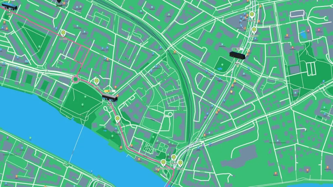
In London, game studios are integrating real-world map data to dramatically improve simulation accuracy in farming and transportation titles. Notably, games like City Bus Manager and Global Farmer have adopted OpenStreetMap’s extensive geographic database to reflect authentic landscapes, roads, and infrastructure.
This integration allows players to navigate realistic bus routes and manage farms grounded in genuine topography. Developers report that this approach enhances engagement by fostering a deeper connection to virtual environments that mirror actual locations.
Industry expert Dr. Helen Reynolds from the Institute for Interactive Media commented, ‘The use of OpenStreetMap data bridges the gap between virtual and real worlds, providing players with a tangible context that enriches gameplay and educational value.’
As public interest grows in transportation logistics and sustainable farming, these games capitalize on the trend by delivering both entertainment and insight. The real-world data inclusion also opens avenues for future enhancements, including dynamic environmental changes reflecting actual conditions.
Such advances signify a meaningful step in game development, merging geospatial intelligence with interactive storytelling. This fusion not only refines user experience but also demonstrates the potential of open data resources in creative industries.